Thursday, February 1, 2007

Thursday morning

It's Garbage Day!

17 degrees at 6 o'clock, with a light dusting of fresh snow.

Photobucket - Video and Image Hosting


It's the First of February, too and the first Valentine's Day decoration has appeared on Madison Street!

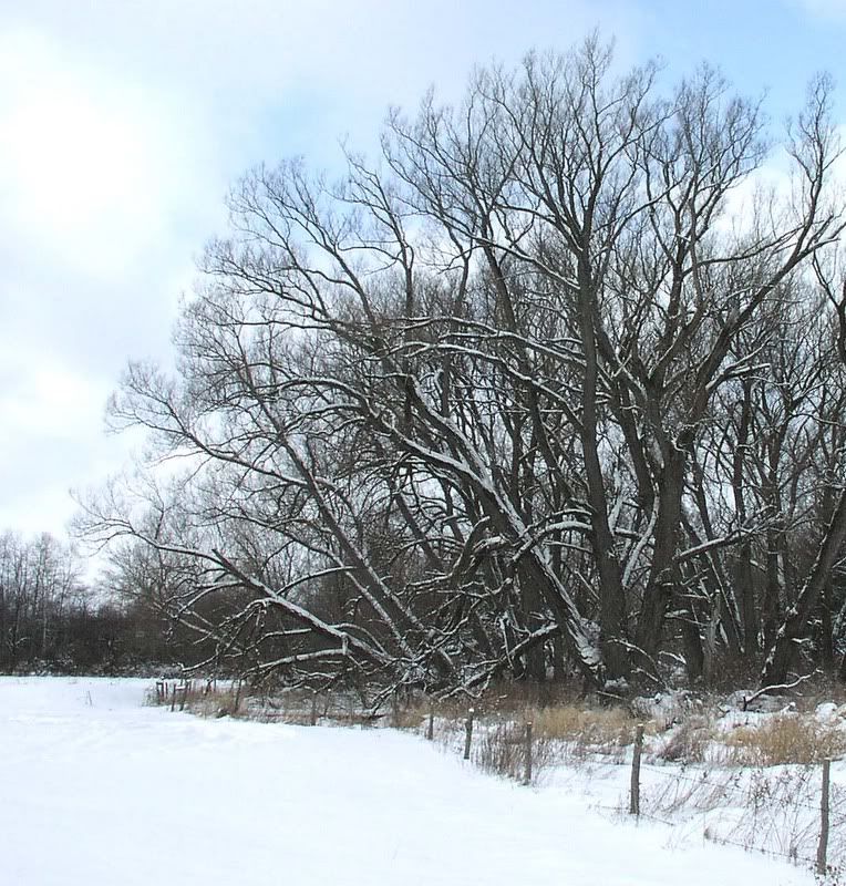
Elsewhere, Winter's decoration - snow - covers the black willows near Osborn Avenue...

Photobucket - Video and Image Hosting


Photobucket - Video and Image Hosting


... and keeps the village sidewalk plow on the move.

After a very long wait, all of the privately-owned snowplows are finally busy. The WKTV forecast may not make the owners and drivers completely happy, but we can remember - in years past - that a forecast of "partly cloudy" or "light flurries" actually resulted in a major snowfall or two!

  • Today: Partly sunny with scattered light snow showers and flurries. High 29
  • Thursday Night: Mostly cloudy with light snow possible late. Low 20
  • Friday: Cloudy with light snow. Light accumulations possible. High 30 Low 15


There's Joy in Boonville! The "Adirondack Cup" Snowmobile Races will take place there, this weekend, and they have the snow for it!

The WCS Boys' Varsity Basketball Team will play Hamilton Central School in Hamilton tonight at 7:30.

Wednesday, January 31, 2007

Wednesday morning

It's Recyclables Day!

17.9 degrees with an inch or two of new "puff" overnight.

Today's WKTV forecast looks like this:
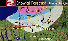


- and sounds like this: "More lake effect snow will develop today as a weak weather system pushes to the east of our area and colder air is drawn in from Canada. Winds this morning will favor the development of lake effect snows primarily from an Oswego to Syracuse to Madison line. Snows here should be on the light side. As winds back to a more westerly direction, the snow band will move to the north and east, through the Mohawk Valley during the day today. 1"-3" of snow may accumulate in all of the above areas within the lake effect snow.
By later this afternoon, the snow squall will move even further north, and just sit for a while, perhaps depositing 4"-8" of snow accumulation across far Northern Oneida County from this afternoon into this evening. Even higher totals are possible in the most die-hard snows further north, with perhaps 8"-14" for Lewis and Northern Herkimer Counties, perhaps including Old Forge.
The snows will drift even further north tonight, impacting the Watertown area late. For us here in Central New York, partly cloudy skies and scattered flurries will be the rule to start the day on Thursday."

*********

"The less snow that we have, the better!" Electricians are making final adjustments to the wiring of the new lamps - a procedure that involves either sitting or kneeling on the ground next to the bases most of the day. We don't envy them!!

No: there is still no word on when the official "Lighting" will take place - perhaps that will be decided at next Monday's Village Board Meeting - although there may be some ON/OFF testing going on, before then during the daytime. Once functioning, the lights will be controlled by sensors (to turn them on) and timers (to turn them off.)

********************


The WCS website links to an article about the Boys' Jr. Varsity Basketball Team's win over Sherburn-Earlville, last week, and an article in the Sports Section of today's issue of the Utica Observer Dispatch recaps Sherburne-Earlville's win over the WCS Boys' Varsity Basketball Team on Saturday.

Photobucket - Video and Image Hosting

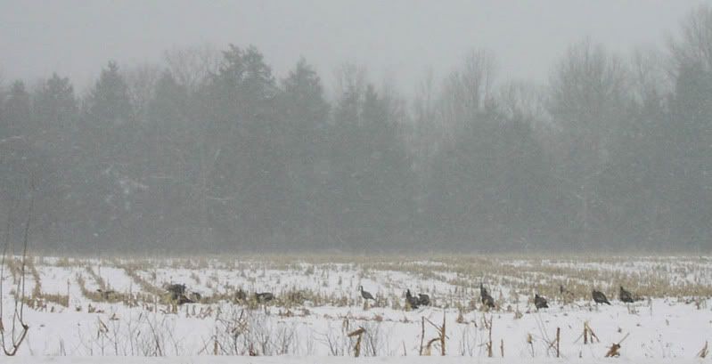
For the past two days, a hundred or more wild turkeys have filled the field across from the old "Mayflower Motel" on Route 20, gobbling up tasty little corn morsels and noisily voicing - "gobbling," again? - their appreciation!

Tuesday, January 30, 2007

Tim Francisco takes us climbing!

Many of you know who Tim is: a physical therapist at ProActive Pysical Therapy here in Waterville - and that he's intent on becoming a "46-r" - that is, he's going to climb all 46 of the Adirondack Mountains whose summits are above 4,000 feet.

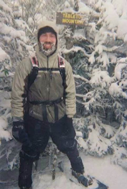
Last weekend he climbed "Tabletop"- his 26th. (Only 20 to go!) "Tabletop's" summit is 4,427'; is just a bit due north of Mt. Marcy, the tallest of the Peaks, and involves a 15.2 mile walk, roundtrip!

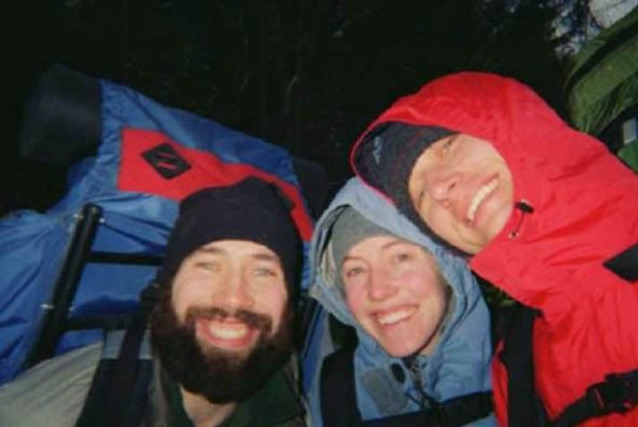
His hiking companions were Mark Mattson and his wife Kelly, who is a teacher at the Memorial Park Elementary School.

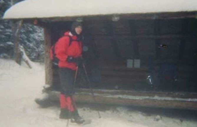
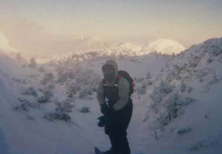
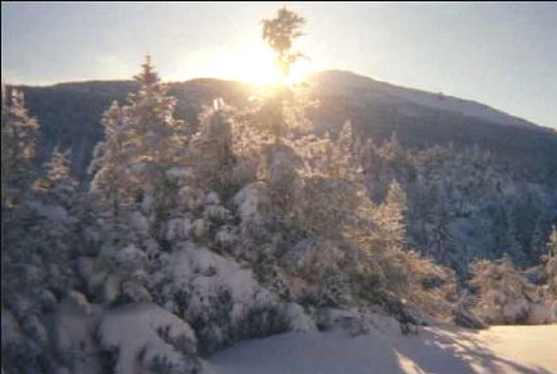
Here are some of his pictures and a brief but all-too-believable description of the weather:

"It was 10-15 Degrees F while hiking but -22 Degrees F overnight.

Summited 'Table Top.'

Couldn't summit Marcy because it was too windy
~60 mph,
got knocked down twice by the wind."

(No! They're not Crazy! and No! They're not alone! Lots of people do this for fun!)

We did!


Photobucket - Video and Image Hosting

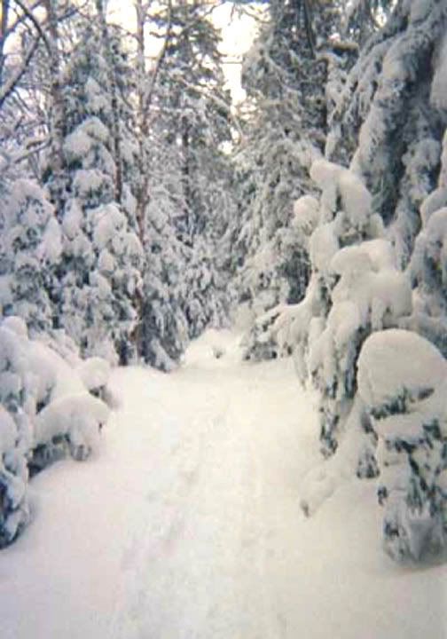
Trail near the base.

Photobucket - Video and Image Hosting

The intrepid Trio

Photobucket - Video and Image Hosting

Marcy Dam's best **** Accomodations!


Photobucket - Video and Image Hosting

At 4,427'


Photobucket - Video and Image Hosting


Higher!

Photobucket - Video and Image Hosting

A Spectacular View of Mt. Marcy.

********

Thanks for the trek, Tim!

Tuesday morning

It's 14.2 degrees and

we're NOT SNOWBOUND!

In fact, it doesn't look as if it snowed more than a few inches, over night.

An update on the Utica O-D's website, "Today's snowfall: Less than one-half inch.

According to the National Weather Service, most of the overnight snow fell west of Utica in areas like Sylvan Beach or Verona Beach.

And today’s forecast doesn’t sound too bad, according to the Web site www.erh.noaa.gov.:

*Today’s temperature will rise to about 21 degrees and total daytime snow accumulation will be less than half an inch."

News 10 Now has further details about snowfall amounts west of here.

********

Good News - for some; not for others, I'm afraid! -
there aren't any school cancellations crawling across the bottom of the WKTV Channel 2 news screen.

*******

Photobucket - Video and Image Hosting

More good News:

It wasn't an "Oooops!" after all -
at least not of the variety that many feared.

According to the electricians, a small - but essential - part of the lamp assembly is missing, but as soon as it arrives the globe will be set in place. In the meantime, they've bundled the lamp in bubble-wrap to keep it dry.


And Thank You, "sbs" - you're definitely correct!

Monday, January 29, 2007

Monday afternoon


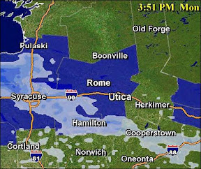
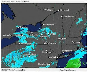
The Doppler shows what seems to be a solid band of Lake Effect Snow, but there are actually more scattered "snow showers," than continual snow, right now. It will be different this evening!

I just came back from Valley Signs over on Route 8, where the new "Welcome to Waterville" signs are being made, and Canning Factory Road was a bit "dicey," but pretty.

Photobucket - Video and Image Hosting

The Goedekers' have plenty of firewood ...


Photobucket - Video and Image Hosting

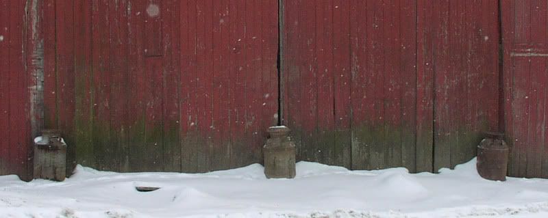
... and the old milk pails at the Buschor Farm made a nice picture.

Photobucket - Video and Image Hosting

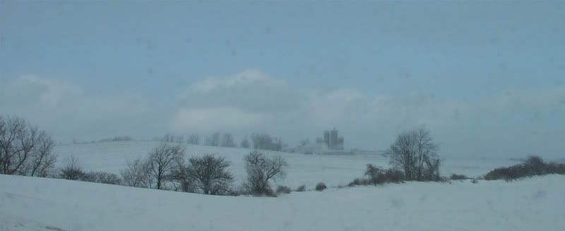
Hanover view


*********

The "Welcome" signs are all cut and the basic dark green paint has been applied - a darker shade than this indicates.

Photobucket - Video and Image Hosting

The letters in "Waterville" will be incised and
then gold leafed and the hop blossoms will be
redrawn, a bit smaller than shown.

Funding for these signs has been made possible by the members of
the Waterville Women's Club and the Waterville Garden Club.

Thank You!

*****


Monday morning

It's Garbage Day!


It's just about 8 degrees and 'tho there's no snow right now, it's on it's way!

The WKTV NewsChanel 2 Weather Team predicts:

Today: Snow showers...scattered and light this morning and becoming more numerous and intense by later today. Accumulations generally 1"-3" by this evening with perhaps locally higher amounts over West Oneida County. High 15.

Tonight: Snow showers and squalls. Additional accumulations of 3"-6" with locally higher amounts for most...except lesser amounts over Northeast Oneida County and lesser amounts also over Southern Otsego County. Low 0-10.


From this morning's O-D ---- Scott McNamara will Run for DA!

And, from the WKTV Newsroom: The Alexander Hamilton Inn is Closing. An historic restaurant in Clinton is preparing to close its doors on Wednesday. A federal court is ordering the Alexander Hamilton Inn to shut down operations. Owner, Patrick O’Connor filed for chapter 11 bankruptcy last year with the intention to reorganize and secure funding but it never happened. O’Connor then found himself filing for chapter 7 bankruptcy. The inn will however continue its catering business and is well booked through 2007 and into 2008. No word on where the new location will be yet.

Photobucket - Video and Image Hosting

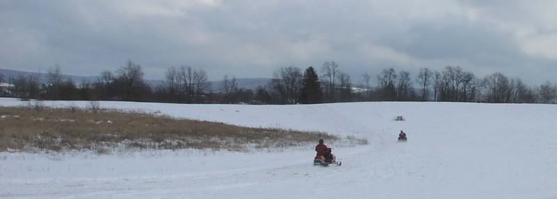
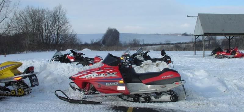
Snowmobilers were out enjoying what snow there was, yesterday.


These two found a smooth trail near the corner of Sanger Hill and Bogan Roads.


Photobucket - Video and Image Hosting

The destination for some riders seems to be the American Legion.


Photobucket - Video and Image Hosting

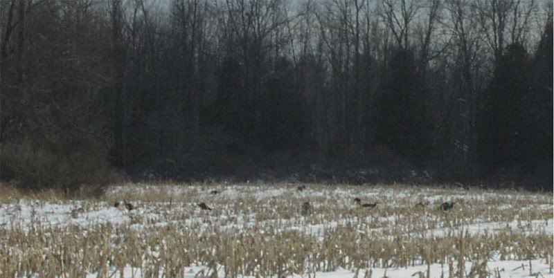
There was quite a gathering of wild turkeys in a field just south
of Route 20 west of Sangerfield.


Visiting Waterville over the weekend were Ms. Lurena McNamara's brother Jack and his wife, Dianne, from Sandwich, Massachusetts. I hope they enjoyed our Winter Scenery and have a safe trip back to the Cape!

Sunday, January 28, 2007

Slow Start to Sunday!

It's about 25 degrees and according to the resident weather observer, who went out for the newspaper quite a while ago, there's just a touch of new snow - enough to keep it pretty.


"Pretty" isn't what snowmobilers or cross-country skiiers were hoping for, but if it warms up a little more the snow that we have could be just perfect for building snow men, snow forts, castles, and sliding mogles!

We'll check the village, later on, to see if any such construction is in progress!

And everyone else may get what they want tomorrow!

The WeatherChannel ...LAKE EFFECT SNOW WATCH IN EFFECT FROM MONDAY MORNING THROUGH MONDAY EVENING...

THE NATIONAL WEATHER SERVICE IN BINGHAMTON HAS ISSUED A LAKE EFFECT SNOW WATCH...WHICH IS IN EFFECT FROM MONDAY MORNING THROUGH MONDAY EVENING.

A NORTHWEST FLOW OF ARCTIC AIR WILL SET OFF LAKE EFFECT SNOW STARTING TONIGHT. LAKE EFFECT SNOW WILL CONTINUE THROUGH MONDAY AND MONDAY NIGHT...WITH THE HEAVIEST SNOW EXPECTED FROM LATE MONDAY MORNING INTO EARLY EVENING. SNOWFALL TOTALS COULD BE 6 TO 12 INCHES IN THE MOST PERSISTENT SNOW BANDS. THE HEAVIEST SNOWS ARE EXPECTED ACROSS NORTHERN ONONDAGA...NORTHERN MADISON...AND WESTERN ONEIDA COUNTIES.

A LAKE EFFECT SNOW WATCH MEANS THERE IS A POTENTIAL FOR LAKE EFFECT SNOWS TO PRODUCE 7 INCHES OR MORE OF SNOW IN 12 HOURS OR LESS...WHICH COULD SIGNIFICANTLY IMPACT TRAVEL.

And while you're waiting: this small internet amusement has been making the rounds, and you might be surprised to find that your accent gives you away! So far, we know that I live in "northern inland (America)" - as do many of my acquaintances - but that Mr. Brown is most definitely from Boston!